Following its first wave this spring, the National Capital Region Transportation Planning Board (TPB) will conduct a second wave of the Regional Travel Survey (RTS) from October through December 2026. Information reported by participating households will help planners in the District of Columbia, suburban Maryland, and Northern Virginia better understand how, where, and when people travel and plan for the region’s changing transportation needs. The results will also help inform future transportation investment decisions.
What happens during the Regional Travel Survey?
Randomly selected households across the region will receive postcard invitations to participate. Because only a limited number of households are invited, every response is important!
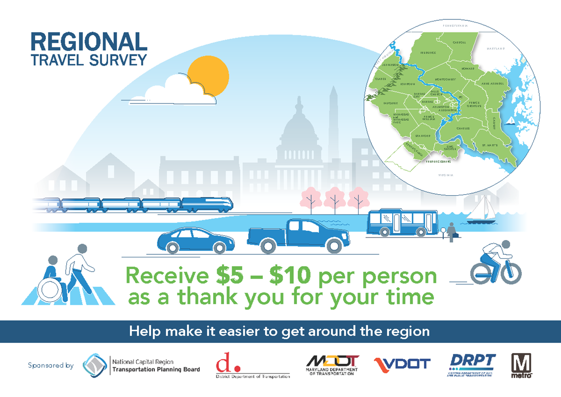
Each postcard includes a unique access code and instructions for getting started. Participants first complete a brief household questionnaire and then report their daily travel using the survey website, smartphone app, or telephone. Participating households can receive $5–$10 per household member after all household members complete the survey.
Information collected is protected and kept strictly confidential. Survey results help transportation planners across the metropolitan Washington area understand how, where, when, and why people travel, including how long trips take and which forms of transportation people use.
Here’s a sample of how the survey invitation postcard looks:
The RTS is an official data-gathering effort
The RTS is supported by state, local, and regional transportation agencies. The TPB conducts the survey in partnership with the District Department of Transportation, Maryland Department of Transportation, Virginia Department of Transportation, Virginia Department of Rail and Public Transportation, and Washington Metropolitan Area Transit Authority (WMATA).
The RTS dates to 1968 and collects information about travel across a large area extending from the Pennsylvania border to Fredericksburg, Virginia, and Southern Maryland, and from the Chesapeake Bay to the Blue Ridge Mountains. It records trips made by car, bus, train, on foot, bicycle, micromobility, shared ride, and ride-hailing services. During the 2017–2018 RTS, approximately 16,000 households reported about 120,000 trips, providing planners with a comprehensive picture of daily travel across the region.
How is the information used?
Information collected through the RTS is used to develop forecasts of future travel on highways, local roads, bus routes, and rail systems, including Metro, MARC, and VRE. These forecasts help regional and local agencies make informed decisions about transportation policies, programs, and investments.
How can I support the Regional Travel Survey?
- If you receive an RTS invitation postcard, participate in the survey!
- Spread the word among neighbors, family, and friends. If they receive an invitation, encourage them to participate.
- If you’re a TPB board or committee member or represent a transportation agency in the National Capital Region, share survey announcements in your newsletters, on your websites, and through social media. Use our RTS ambassador toolkit for ready-to-post messages and key links. Not every household will receive a postcard, but many households in your community will!
By participating in or spreading the word about the Regional Travel Survey, you’re making a difference by helping to plan the region’s transportation future!
Questions? Contact Ken Joh, TPB Principal Statistical Survey Analyst, at kjoh@mwcog.org
Read More:
TPB's Regional Travel Survey launches in spring 2026 - TPB News - News | Metropolitan Washington Council of Governments
4 questions about the TPB's Regional Travel Survey - TPB News - News | Metropolitan Washington Council of Governments
Four travel trends from the TPB's Regional Travel Survey - TPB News - News | Metropolitan Washington Council of Governments